Today
Next boat from Ishigaki –
Hatoma Island suits walkers who want a very small, quiet island with a lighthouse hill and empty beaches, and who are happy with no shops. Get the boat right: there are only two a day each way, so a day trip runs from the morning boat to the last one back. A night on the island is the easy way to see it.
Good for
- Full day or overnight
- Walking
- Quiet beaches
- Snorkeling
- Half-day trips
- Shops and cafés
Think about staying a night. With few boats a day and cancellations in rough sea, a night on the island takes the pressure off. Beds are few, so book ahead.
Photos
Hatoma in pictures
A day on Hatoma
The day, stop by stop
Real boat times from today's timetable. Change the stay or add a second island in the planner.
- ⛴08:00
Leave Ishigaki at 08:00
YKF boat, on Hatoma by 09:15 at the latest. Later boats work too; all of them are on the board below.
- 1on arrival
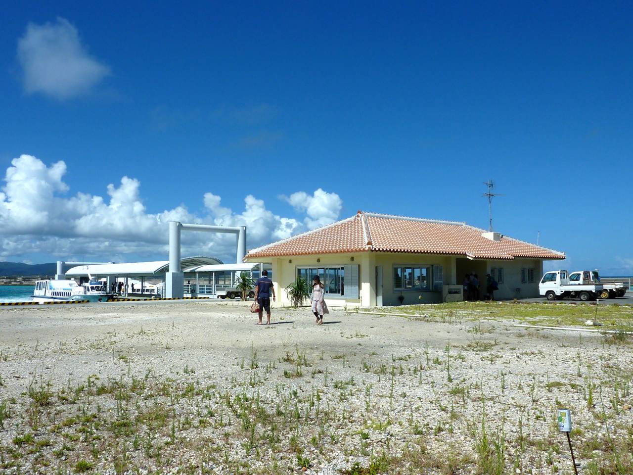
Hatoma Port
The boat docks at the small port on the south side. There is a drinks vending machine and free Wi-Fi, but no shop, so carry your food and water from Ishigaki.
- 2first hour
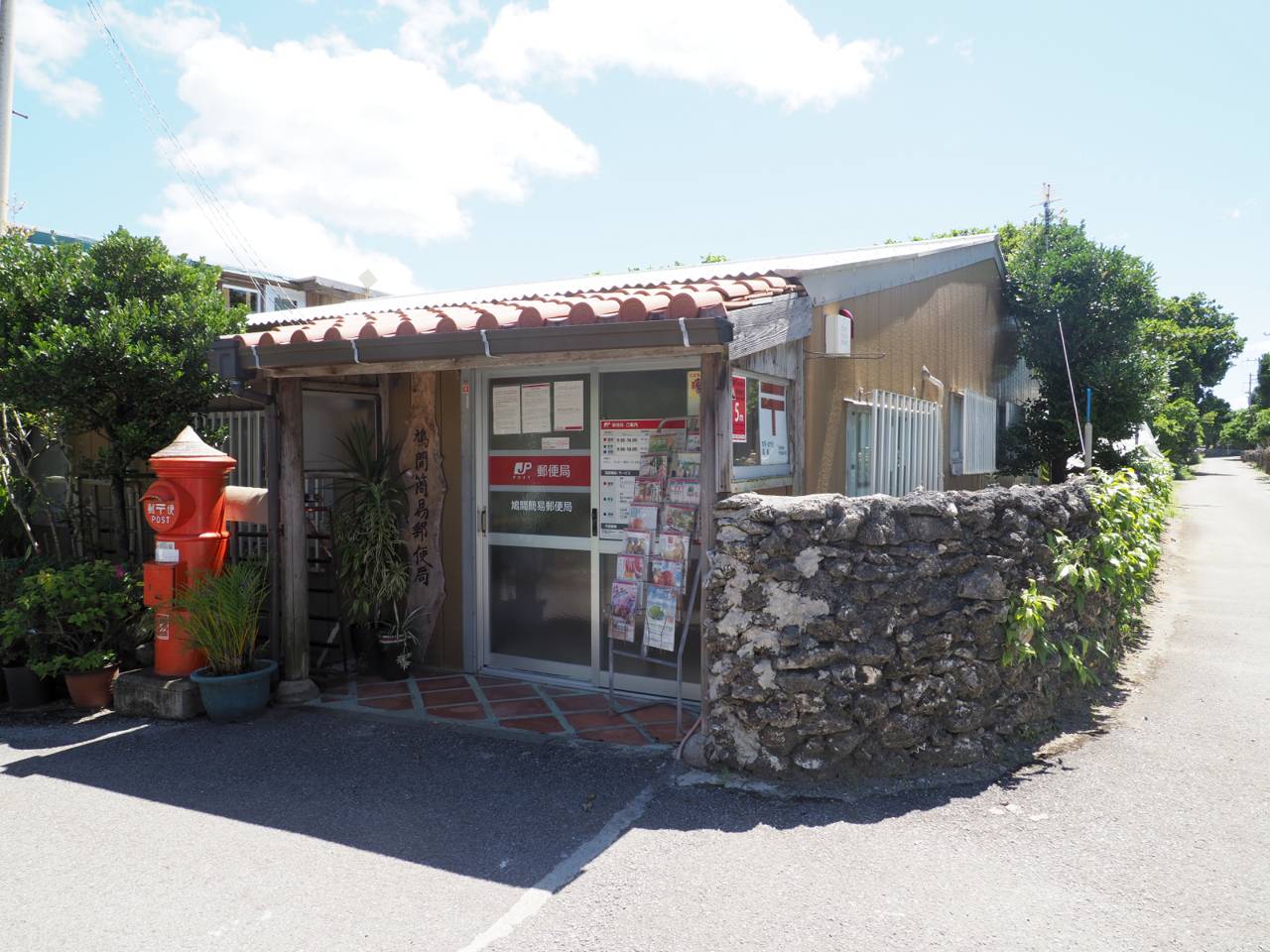
The village
The village sits right by the port: coral-stone walls, old Okinawan houses and gravel lanes. The tiny post office opens 9:00 to 16:00, and there is no ATM on the island.
- 3mid-morning
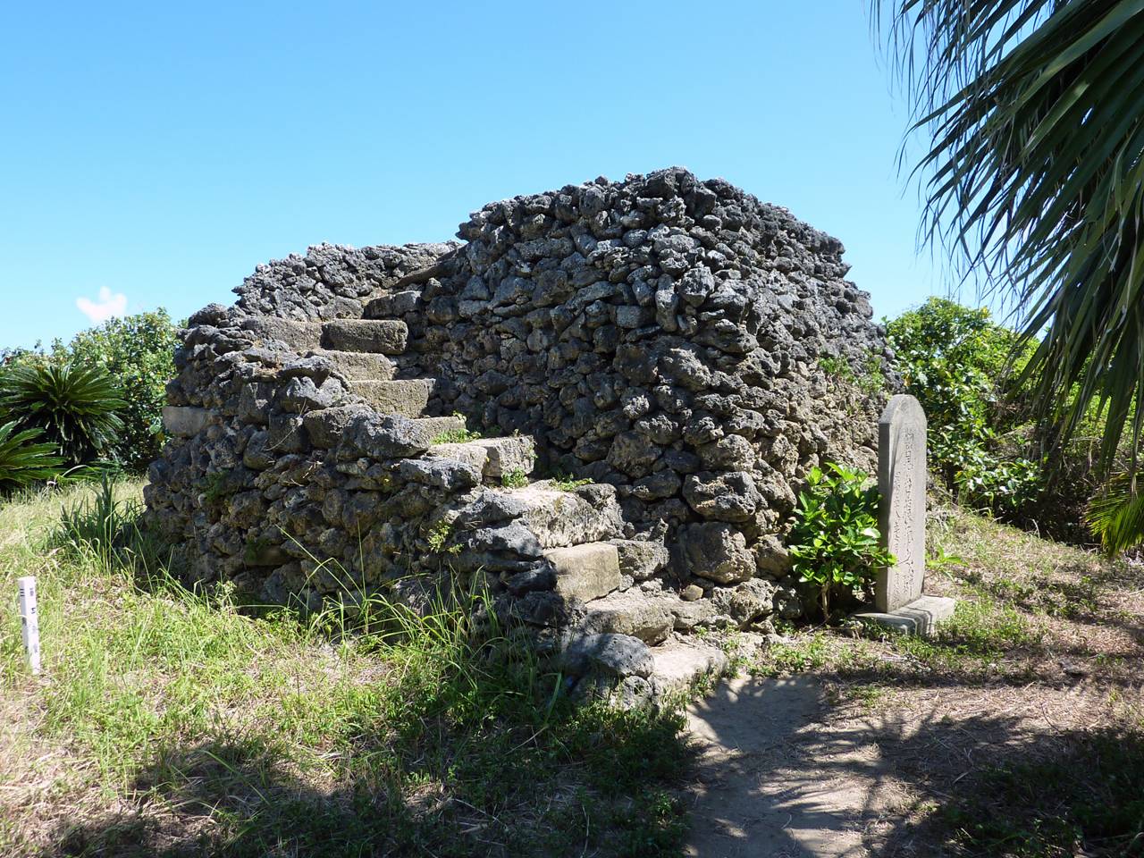
Nakamui hill lookout
Walk about 15 minutes from the port to Hatoma Nakamui, a 34 m hill in the middle of the island. The white lighthouse here dates from 1948, and the stone beacon lookout beside it looks out over the sea to Iriomote.
- 4late morning
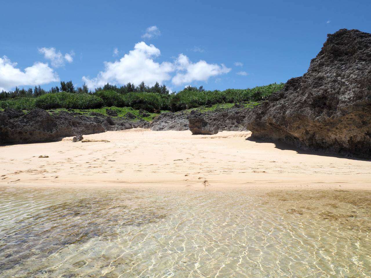
Shimanaka Beach
Follow the trail north to Shimanaka Beach, straight across the island from the port. The water is very clear and the reef is close, so check the tide before you swim. Blue coral grows off this north coast, and smaller beaches hide behind gaps in the rocks.
- 5lunch
Yara Beach
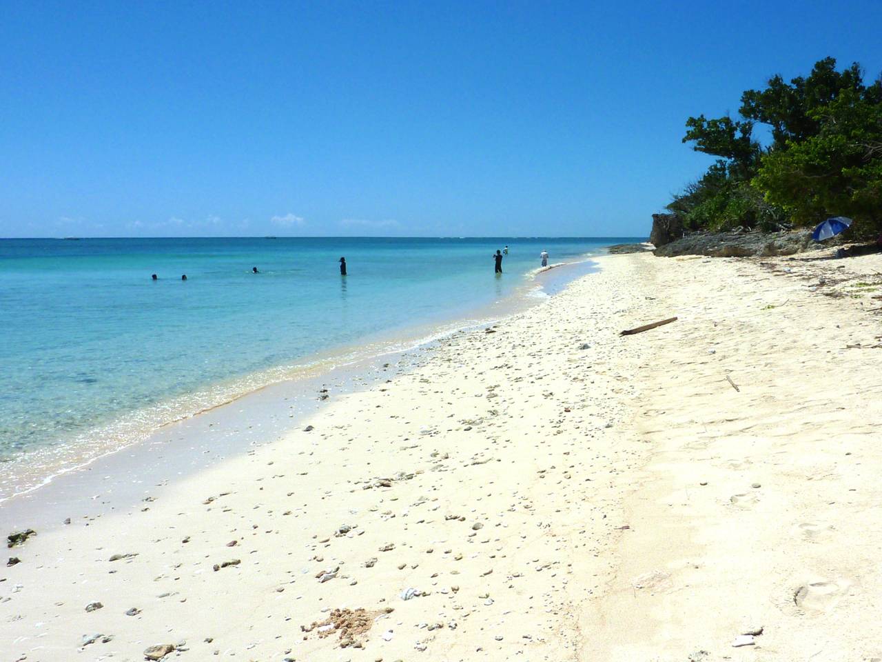
Have your picnic at Yara Beach on the west side, the island's widest beach, with shade trees behind the sand. The water is shallow and calmer than on the north coast, good for a swim or a snorkel.
- 6before the boat back
Maenohama
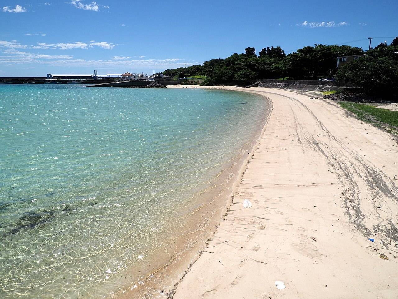
Finish at Maenohama, the beach next to the port, with white sand and a view across to Iriomote. The current runs fast further out, so stay close to shore, and be at the pier in good time for the last boat.
- ⛴16:55
Last boat back 16:55
Anei, in Ishigaki by 18:10. Earlier boats: full timetable.


Tours from Ishigaki
If the boats or the weather do not work for this island, these run from Ishigaki itself.


Getting around
Walk or rent a bike
Hatoma is under one square kilometre, with no rental cars and many unpaved roads. Most visitors walk the forest and coastal trails, and small signboards along the ring road point the way to each beach. A bike makes the beach round quicker.
On foot
Port to the lighthouse hill or Shimanaka Beach in about 15 minutes, Tachibaru Beach in about 20.
Rental bike
Rental Cycle Ayagu, from your boat in to the day's boat out. Many roads are unpaved.
Good to know
Before you go

Where to eat
There is no shop or convenience store, only a drinks vending machine at the port, and restaurants are few. Bring lunch, snacks and plenty of water from Ishigaki.

With children
Yara Beach is shallow and calm, with shade under the trees. There are no shops and no transport, so carry enough food, water and sun cover for the whole day.

If it rains
There is nothing indoors to fall back on: the island is trails and beaches. On a wet or windy day pick another island, as the Hatoma boats are also among the first to stop in north winds.

Staying the night
A night here turns a long day into an easy one, with time for sunset at Yara Beach. A handful of small inns sit in the village, among them Pension Maitoze, with bungalow rooms, meals at its seaside dining room and a terrace for stargazing, and Minshuku Idafuni, five minutes from the port and run by a sanshin singer.
Before you set off. The Hatoma boats cross open sea, so they are cancelled more often than boats to the nearer islands, and in winter north winds that can last for days. Bring cash: there is no ATM, and the Anei ticket counter at Hatoma Port takes cash only.
- Tiny island just north of Iriomote, birthplace of the Hatomabushi folk song. Hatoma Nakamui hill gives a panoramic view of Iriomote.
- Under one square kilometre with a very small population. A tiny village sits near the port and the rest is forest.
- The beaches are unspoiled, with blue coral communities off the north coast.
- Trails lead through forest to a white lighthouse on the highest point, past remains of a hibanmui beacon lookout, with views of Iriomote.
- Visitors mainly explore on foot along forest and coastal trails.
- Caution: only a few small inns and guesthouses, and restaurants are scarce, so day visitors should consider bringing lunch.
- The Hatoma Island Music Festival is held each year on May 3.
Boats
Ishigaki ⇄ Hatoma today
Both operators on one board, the next departure highlighted in Japan time. Tickets work only on the company that sold them.
| 08:00 | YKF via Uehara |
| 08:30 | Anei via Uehara |
| 15:45 | YKF |
| 16:00 | Anei LAST |
| 09:20 | YKF |
| 09:45 | Anei |
| 16:40 | YKF via Uehara |
| 16:55 | Anei LAST via Uehara |
Highlighted: the next departure in Japan time. Tickets work only on the operator that sold them.
Tickets: at the terminal counter on the day, from the operator whose boat you take, or on the operators' sites (Anei Kanko · Yaeyama Kanko Ferry (YKF)). How tickets work
Explore
Map of Hatoma
Sights, beaches and the reef around the island. Tap anything on the map.
Stay on Hatoma
Day-trippers leave on the last boat; the island is yours after that.


Next
Add another island
Boats between the islands are rare; you go back through Ishigaki, which the planner builds in.


